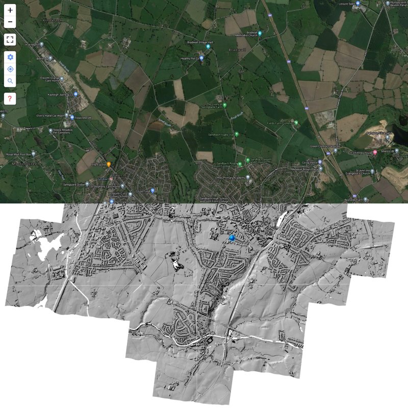
LIDAR is a technology which uses laser light to create a 3D representation of the earth’s surface. It can be used to find archaeological features which are not immediately visible from the ground or through traditional satellite images.
Cheshire Historic Market Town. Information, data, resources

LIDAR is a technology which uses laser light to create a 3D representation of the earth’s surface. It can be used to find archaeological features which are not immediately visible from the ground or through traditional satellite images.