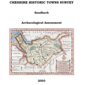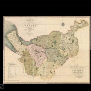
1822 Map of Cheshire
From an actual Survey made in the Years 1820 & 1821, By C. & I. Greenwood, London. Author: GREENWOOD, Christopher Publication place: London Publisher: Published
Go to website
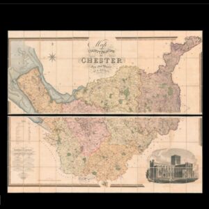
1831 Map of Cheshire
Andrew Bryant’s large-scale map of Cheshire Map of the County Palatine of Chester from an actual Survey by A. Bryant. In the Years 1829, 1830
Go to website
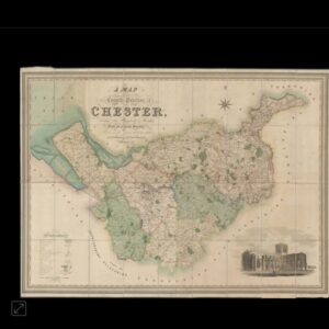
1832 Map of Cheshire
Hutchings’ large-scale map of Cheshire A Map of the County Palatine of Chester Divided into Hundreds & Parishes, From an Accurate Survey, Made in the
Go to website
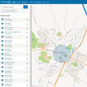
1939 Register
Map search: 41 million people recorded in England & Wales at the outbreak of the Second World War, via Find My Past. The 1941 UK
Go to website
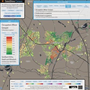
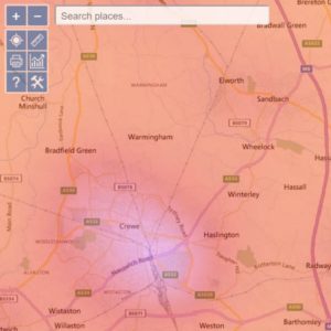
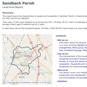
2011 Census interactive map
2011 Census data shown on an interactive map, with the option to chose statistics on population, origin, beliefs, health, housing, education, employment, etc.
Go to website
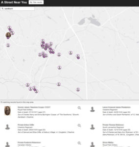
A Street near you
First World War men and women who died whilst serving in the First World War, who lived in Sandbach.
Go to website
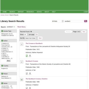
ADS Archaeology Search
Archaeology Data Service: Accredited digital repository of heritage data, archives, unpublished reports, journals and metadata records.
Go to website
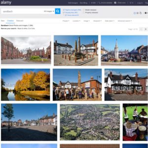
Alamy Stock Photos
Photographs of Sandbach for purchase, that can be filtered by people, location, image type, viewpoint, and date taken.
Go to website
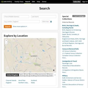
Ancestry.co.uk
The genealogy website, where you can subscribe to information such as census records, birth, death and marriage certificates, for people who lived in Sandbach, and
Go to website
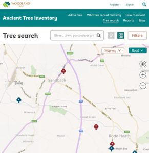
Ancient Tree Inventory
From Ashes to Willow, The Ancient Tree Inventory (ATI) is a living database of ancient trees, that includes trees of interest biologically, aesthetically or culturally
Go to website
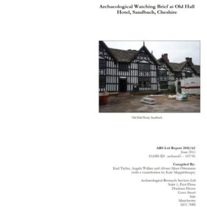
Archaeological Watching Brief at Old Hall (2011)
Watching brief during ground works of service trenches, new foundations and a soakaway.
Go to website
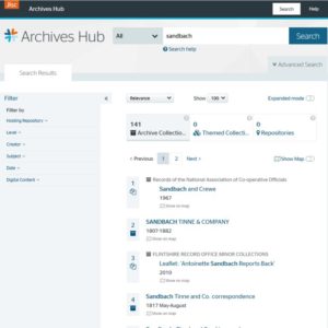
Archives Hub
Brings together descriptions of thousands of the UK’s archive collections
Go to website
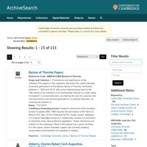
ArchiveSearch: Cambridge University
ArchiveSearch provides access to finding aids and links to digital records for the majority of archives located in the city of Cambridge. It includes many
Go to website
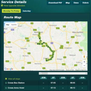
Arriva Bus Timetable
Times of local buses, including route maps and timetables, and ticket purchasing online.
Go to website
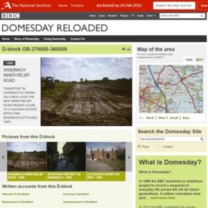
BBC Domesday Reloaded
The 1986 BBC project to record a snapshot of everyday life across the UK. On the website, navigate via the menu in the panel at
Go to website
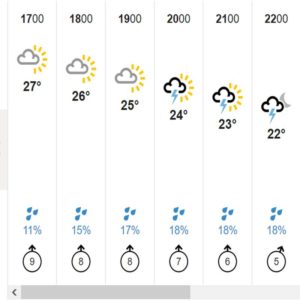
BBC Weather
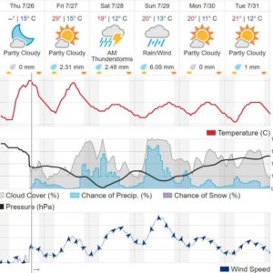
Map and 10-day forecast, temperature highs and lows, wind speed and direction, chance of rain.
Go to website
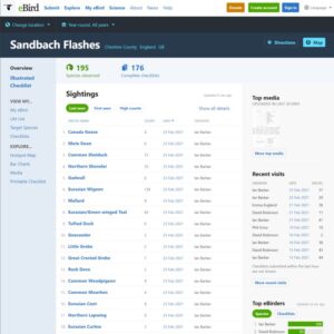
Birds spotted at Sandbach Flashes
Bird sighting at Sandbach Flashes, showing the date, number, and observer. Also available for Watch Lane Flash
Go to website
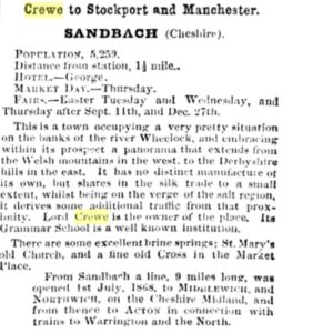
Bradshaw's Guide
Sandbach is mentioned in Bradshaw's illustrated handbook for tourists in Great Britain and Ireland: Crewe to Stockport and Manchester SANDBACH Cheshire POPULATION, 5,259 Distance from
Go to website
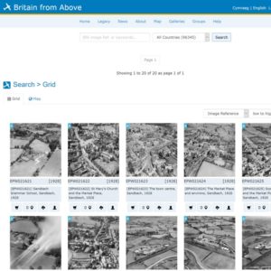
Britain from Above
Aerial photographs of Sandbach from the Aerofilms collection, taken between 1928 and 1951.
Go to website
British History Online
Brings together material from British history from libraries, archives, museums and academics.
Go to website
British Pathé
British Pathé is one of the finest newsreel archives in the world, consisting of 85,000 films with historical and cultural significance, spanning the years from
Go to website
Broadband Availability
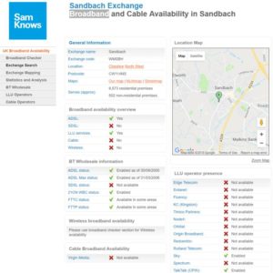
SamKnows provides wholesale UK broadband availability at local telephone exchanges around the country.
Go to website
Broadband Speedchecker
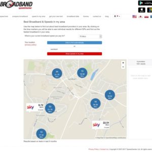
Use the map to find out about best broadband providers in your area. The blue markers will enable you to see individual results for different
Go to website
Burdett's County Map of 1777
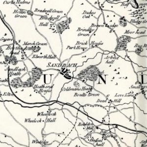
Peter Perez Burdett's "Survey of the County Palatine of Chester" was published on 1 Jan 1777.
Go to website
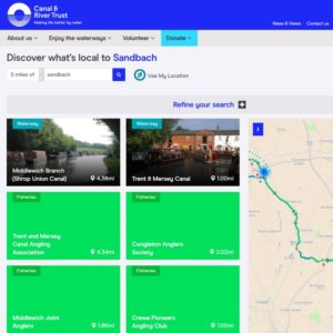
Canal and River Trust
The Canal and River Trust is the charity who look after Britain's 2,000 miles of waterways. Includes information on waterways, fisheries, societies, places to visit,
Go to website

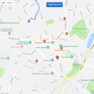
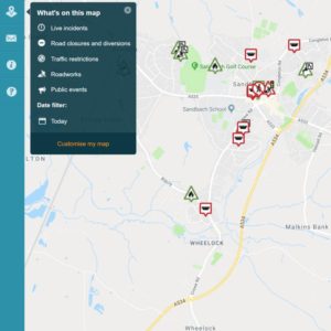
Car Parks
Sandbach car parks Name/LocationPostcode*Height RestrictionMaximum StayMaximumCapacityFees Brookhouse Road Car Park CW11 1HZ 2.3 metres 10 hours 147 Free Chapel Street Car Park CW11 1DH 2.0
Go to website

Charity Commission
The regulator of charities in England and Wales is the Charity Commission, who also maintain the charity register.
Go to website
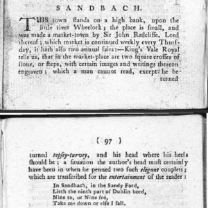
Cowdroy's Cheshire Directory (1789)
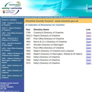
The Directory and Guide for the City and County of Chester, by W. Cowdry. Published 1789. The full text for Sandbach reads: Sandbach This town
Go to website
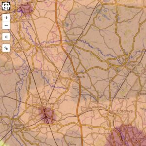
Dark skies finder
The main feature of this website is the light pollution map, which has recently been updated with data from 2022. Use it to escape the
Go to website
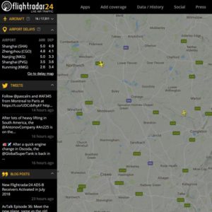
FlightRadar24 Live Air Traffic
Real-time aircraft flight tracking over Sandbach, Cheshire, and the rest of the world.
Go to website

Foden's Band Archive
The Foden’s ‘Heritage’ website has been created to celebrate over 100 years of rich and diverse history of the Foden’s Band, a period during which
Go to website
Food hygiene ratings
Cheshire East food hygiene rating, part of The Food Standards Agency’s six-tier Food Hygiene Rating scheme for England, Wales and Northern Ireland.
Go to website
FreeBMD (Genealogy)
FreeBMD is the project that aim to transcribe the Civil Registration index of Births, Marriages and Deaths for England and Wales, and to provide free
Go to website
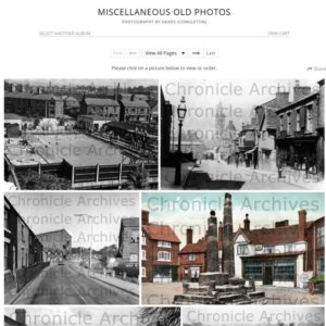
Heads (Congleton) Photo Archive
Photos from the Chronicle newspaper from the 1960s, including archive and heritage images.
Go to website
Heritage Works: The Old Hall
In 2008, Heritage Works undertook an options appraisal study of The Old Hall.
Go to website
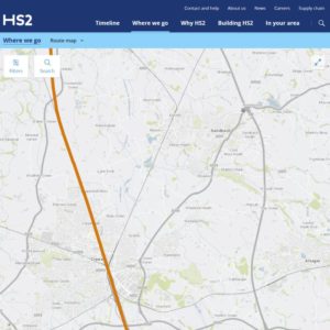
HS2 High Speed 2 Rail Route
Interactive map showing the route of HS2 through Crewe, as it passes west of Sandbach.
Go to website
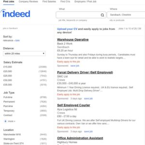
Indeed Jobs
Employment available in Sandbach. Search by category, salary and many other factors
Go to website
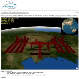
International Space Station
The International Space Station appears as a large cross traversing the night sky. Note that Brightness is measured as “magnitude”, and the smaller the number,
Go to website
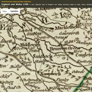
John Rocque's 1790 map
Composite of England and Wales, drawn from the most accurate surveys containing all the cities, boroughs, market towns & villages; in which are included all
Go to website

JSTOR academic journals
JSTOR provides access to more than 12 million academic journal articles, books, and primary sources in 75 disciplines.
Go to website
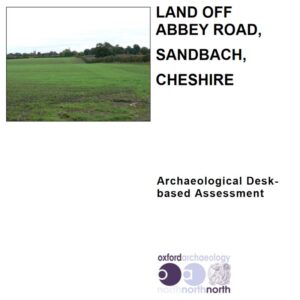
Land off Abbey Road, Sandbach
Land off Abbey Road, Sandbach, Cheshire East. Archaeological Desk-based Assessment. Blythe, Kathryn (2013) Land off Abbey Road, Sandbach, Cheshire East. Archaeological Desk-based Assessment. Project Report.
Go to website
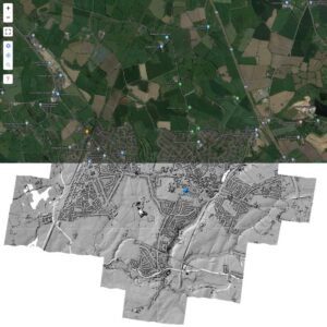
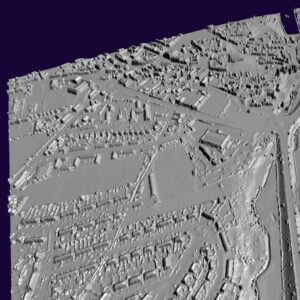
Lidar laser maps
LIDAR is a technology which uses laser light to create a 3D representation of the earth's surface. It can be used to find archaeological features
Go to website
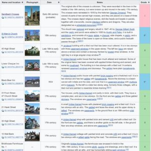
Listed Buildings (Wikipedia)
78 buildings that are recorded in the National Heritage List for England as designated listed buildings.
Go to website
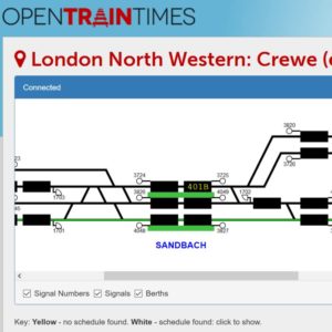
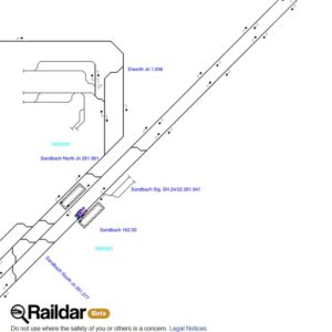
Live railway track signalling
Real-time train information from Network Rail displayed on track diagrams.
Go to website
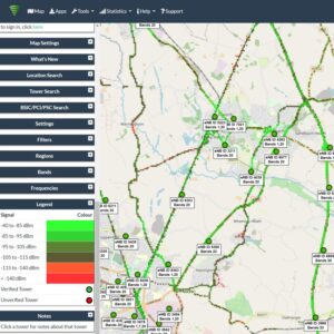
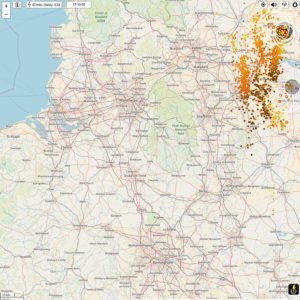
Mobile phone masts
CellMapper is a useful app for locating 2G/3G/4G/4G+ base stations.
Go to website
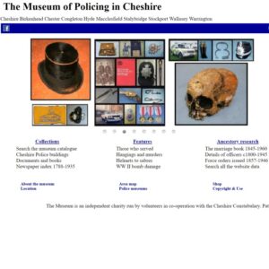
Museum of Policing
The Museum of Policing in Cheshire is an independent charity located in Warrington that includes records relevant to Sandbach and the surrounding area.
Go to website
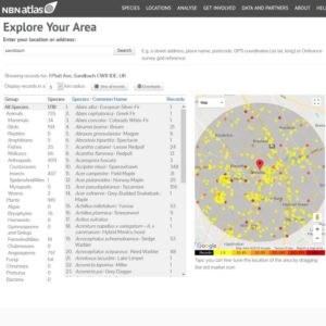
National Biodiversity Network
The National Biodiversity Network NBN Atlas combines multiple sources of information about UK species and habitats
Go to website

National Library of Wales
Online Welsh Journals at the National Library of Wales. See also: Newspapers
Go to website
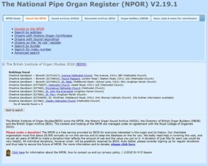
National Pipe Organ Register
Click "Search by address" and enter "Sandbach". Click on a building. Click Details
Go to website
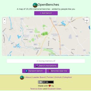
OpenBenches (memorial)
OpenBenches.org is a site dedicated to memorial benches. A quiet reminder of the people gone but not forgotten. A spot to rest your weary legs
Go to website
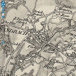
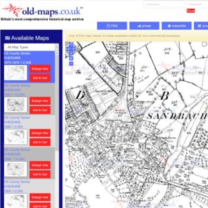
Ordnance Survey First Series (1856)
Ordnance Survey First Series, Sheet 80, showing Sandbach, and location of its racecourse. (Via Vision of Britain website). See also enlarged view of Cheshire Sheet
Go to website
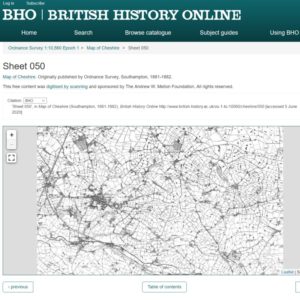
Ordnance Survey Map (1881/2)
Ordnance Survey Map, 'Sheet 050', in Map of Cheshire (Southampton, 1881-1882), British History Online http://www.british-history.ac.uk/os-1-to-10560/cheshire/050 [accessed 5 June 2020].
Go to website
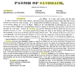
Parish of Sandbach (1817)
In The history of the county palatine of Chester, by J H. Hanshall.
Go to website
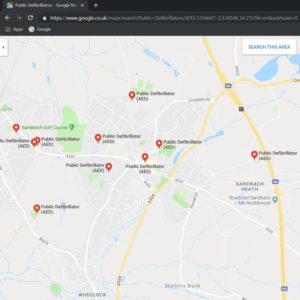
Public Defibrillators (AED)
Automated External Defibrillators (AED). Note that some are located in buildings with access restricted by opening time. Others are outside buildings and available 24-hours. Locations
Go to website

Rightmove property for sale
Houses and flats for sale, in and around Sandbach. Filter by price, number of bedrooms, and property type.
Go to website
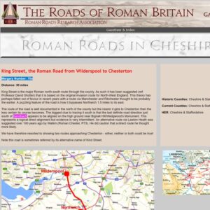
Roman Roads in Cheshire
King Street: the Roman Road from Wilderspool to Chesterton (Margary Number: 70a), featuring: Elworth, Sandbach - Lidar Image and Route Map Abbeyfields Excavation (SJ 7465
Go to website
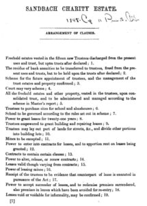
Sandbach Estates Charity (1848)
"To provide for the better administration of certain Charities, in the Parish of Sandbach, in the County of Chester, and the distribution of the Income
Go to website

Sandbach Flashes
Created by a few devotees interested in maintaining a photo gallery, latest news, sightings and year list information for the local Sandbach flashes
Go to website
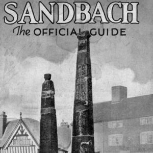
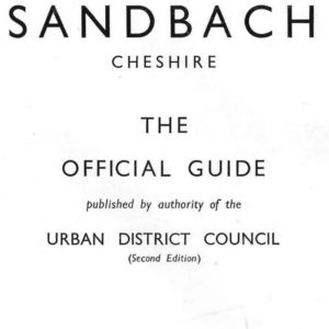
Sandbach Official Guide (1st Ed) (1933)
See booklet below. This little handbook has been published (a) to furnish information to the outside world as to Sandbach's local industries; (b) to advertise
Go to website
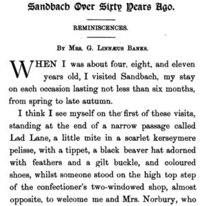
Sandbach Over 60 Years Ago (1895)
By Mrs G. Linnaeus Banks in Bygone Cheshire, edited by Andrew Williams.
Go to website
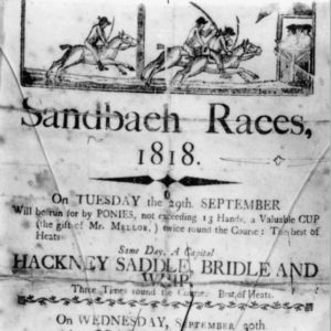
Sandbach Racecouse
History of Sandbach Races at Sandbach Race course. The location of the race course can be seen on the Ordnance Survey First Series map. Races
Go to website
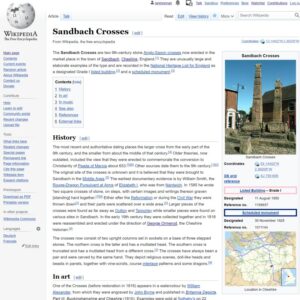
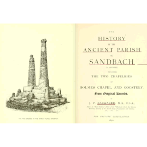
Sandbach Saxon Crosses
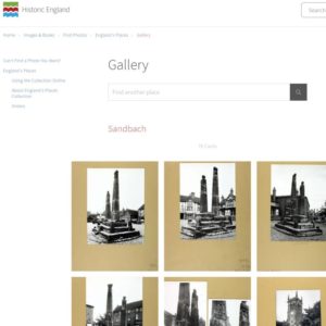
Sandbach Crosses (Wikipedia). Also called "Sandbach Crosses", and the "Ancient Crosses". Other resources: Web sites Sandbach Crosses (at English Heritage) Sandbach Anglo-Saxon crosses (at Historic
Go to website
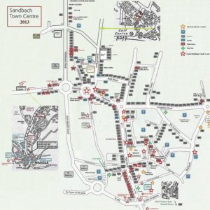
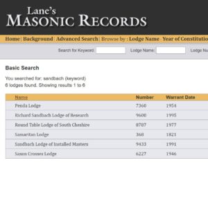
Sandbach Shops History
Stewart Green's resource on this history of the shops in Sandbach (click the PDF link on his website), going back to the 17th century.
Go to website

Sandbach Tunnels
The Sandbach Tunnel Network investigate whether there are hidden tunnels under parts of Sandbach
Go to website
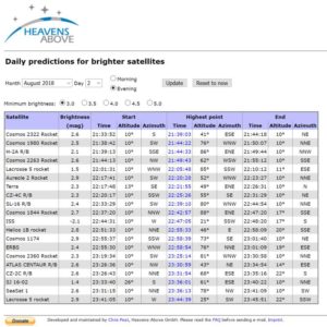
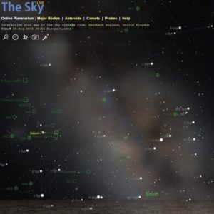
Satellites predictions
Satellites appear as star-like points of light moving across the sky. Note that Brightness is measured as "magnitude", and the smaller the number, the brighter
Go to website
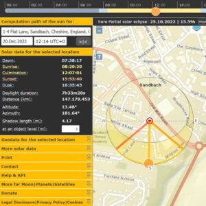
Sun position
SunCalc shows the movement of the Sun and sunlight-phase for a certain day at a certain place. You can change the Sun's positions for sunrise,
Go to website
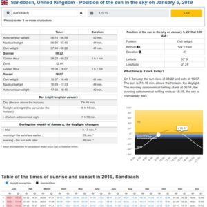
Sunrise Sunset
A detailed table and graphics showing the sunsrise and sunset times for Sandbach and more than 100.000 places around the world. What time is it
Go to website
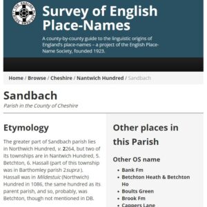
Survey of English Place-Names
The English Place-Name Society was founded in 1923. Its principal aim is to conduct the Survey of English Place-Names, a county-by-county survey which explains the
Go to website
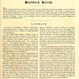
The history of the county palatine and city of Chester (1819)
Features a section Sandbach. Description: The history of the county palatine and city of Chester: compiled from original evidences in public offices, the Harleian and
Go to website
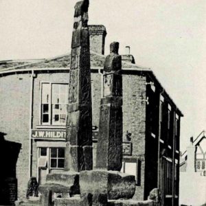
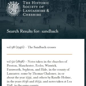
The Sandbach Crosses (1946)
"The Sandbach crosses" by A. C. F. Tait, in Transactions of the Historic Society of Lancashire and Cheshire for the year 1946.
Go to website
They Work For You
You shouldn’t have to be an expert to understand what goes on in Parliament. Your politicians represent you… but what exactly do they do in
Go to website
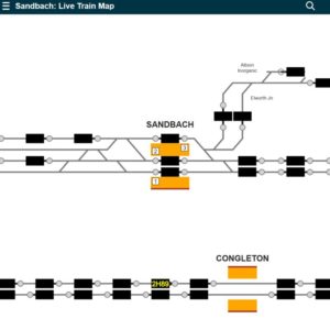
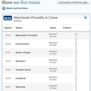
Traksy live train signalling
Interactive live diagram showing location of trains, similar to the views used in signal boxes
Go to website
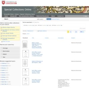
University of Leicester Special Collections Online
Includes: Directory of Manchester & Salford, 1853 Kelly's Directory of Cheshire, 1896 Kelly's Directory of Cheshire, 1902 Kelly's Directory of Cheshire, 1914 Kelly's Directory of
Go to website
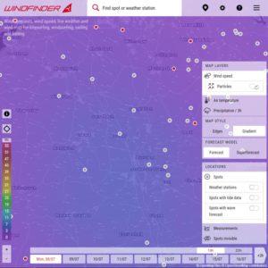
Wind Forecasts
Wind Forecasts, wind speed, live weather and wind map for kitesurfing and windsurfing
Go to website
