Skip to content

Sat 10 May 2025
🌝 Sunrise: 05:12
🌙 Sunset: 20:58
(BST) More...

www.sandbach.top

Cheshire Historic Market Town. Information, data, resources

  • Home
  • All
  • Weather
  • Transport
  • History
  • Maps
  • Images
  • Anniversaries
  • Contact
Lidar finder

Lidar laser maps

1 March 2021 by iantresman
Go to Website

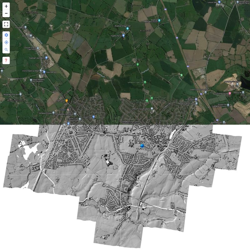
LIDAR is a technology which uses laser light to create a 3D representation of the earth’s surface. It can be used to find archaeological features which are not immediately visible from the ground or through traditional satellite images.

Categories Archaeology, Maps
Birds spotted at Sandbach Flashes
3D Lidar Viewer

Categories

  • Air
  • Archaeology
  • Astronomy
  • Bus
  • Cars
  • Commercial
  • Cycling
  • Data
  • Environment
  • Film/Video
  • Food
  • Genealogy
  • Geological
  • Government
  • History
  • Images
  • Jobs
  • Literature
  • Maps
  • News
  • Organisations
  • Property
  • Science
  • Telecommunications
  • Trains
  • Transport
  • Travel
  • Uncategorized
  • Weather

Recent posts

  • Dark skies finder
  • Sun position
  • Sandbach Estates Charity (1848)
  • Vimeo
  • BBC North West Film Archive
©2025 Knowledge Computing